There are some surprising similarities between navigation systems for roads and waterways and a few striking differences.
One thing both have in common is people's perception of using navigation systems. Many drivers use Google Maps or community-based navigation systems like Waze to navigate unfamiliar terrain or destinations far from home. But they usually don't think they need a navigation system if they are on a familiar route... until they run into a problem. By that time, it's usually too late to benefit from early warnings and alternate route suggestions.
For example, I spent about an hour and 40 minutes traveling by car from home to the office instead of my usual 30 to 40-minute commute. It's a familiar route that I travel several times a week. In hindsight, I should have activated Waze, but it was already too late to help me avoid the slowdown.
Many boaters have behavioral patterns similar to drivers, forgoing the use of a navigation system or app in familiar coastal or lake areas. If I'm setting sail toward a new destination, I'm more likely to use a map. When navigating the ocean - offshore of North Carolina's Outer Banks, for example, many boaters will use a navigation system to make sure they are finding the entrance to the Pamlico Sound. Once they enter the sound, as they are headed towards the marina, they will probably consult a map to identify unfamiliar coastal obstacles or drifts. People tend to pay closer attention as they are approaching a rocky coast, even if they don't know the exact distance to the obstacles. But even in deeper open water, you can have areas that are relatively shallow, containing obstacles such as large rocks or underwater monitoring stations.
On a typical driving navigation app, one may occasionally be asked to confirm road conditions or to report hazards along the road. This feedback helps other drivers on the road to make decisions such as avoiding a traffic jam or a hazardous situation. Similarly, in reality, boaters find other local boater knowledge as highly credible. When designing the Ahoy! navigation tools, we are looking to leverage this local and communal knowledge so that it can be widely shared with other boaters.
Developing community-based boating or marine navigation presents its own unique challenges. Maritime systems and maps are not nearly as well developed or widely used as those available for roads. Sea conditions constantly change, which must be considered when building marine navigation systems. And while marina areas tend to be well mapped, as you get deeper into the lakes, there are large areas where you have little or no data coming from users. Sandbars can shift around, new obstacles appear, and even well-known hazards can surprise the seasoned boater, depending on weather and wave conditions and the amount of daylight present. Roads, however, are more fixed, with limited options where you can drive. They also tend to change more slowly.
The accessibility of user-friendly, free tools for road navigation has provided tremendous benefits for drivers and changed how people live and travel. At sea, navigation systems are still limited and expensive, and while most yachts are equipped with some type of system, they are not widely used by boaters. There have been some advances in course charting technology with efforts like OpenCPN and a few others. As new mapping capabilities and technologies are being developed, we will likely see them become more widely available for everyone in the future.
At Ahoy!, the aim is not to develop a new navigation system. Our technology focuses on giving boaters one-time alerts to avoid obstacles, whether from shifting sandbars, unseen objects, or just a momentary lapse in attention. Just like with automatic braking systems for vehicles, most boaters will never need it, but the safety net is there for that one time that you really do need it.
The Safe Navigation feature is provided through the Ahoy! mobile app offers several modes of operation. One such mode monitors your boat's location in the background without needing to open any navigation system. Even the most experienced boaters have hit an obstacle or had a near-miss situation due to a lack of alerting capabilities in real-time. Usually, the danger is from known and mapped obstacles, but often people aren't aware of them, or perhaps they misjudge their exact location. Even if you never need a real-time alert, the fact that the system is alert in the background provides boaters with greater peace of mind.
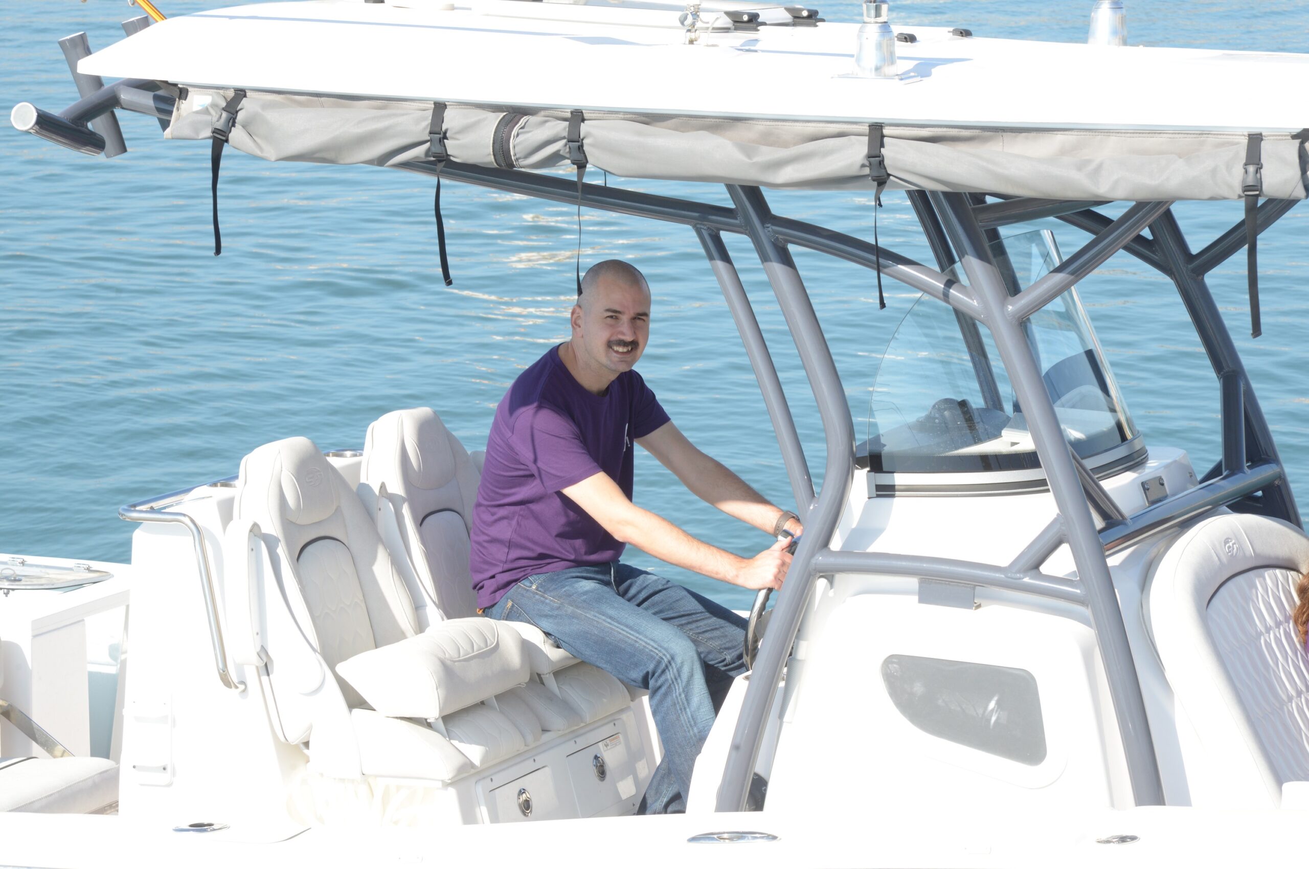
I feel lucky to be part of this tremendous team, developing safety features for the boating community of which I’m also a long-time member. The coolest part of my job is combining my two passions -- the sea and technology. I'm not just sitting in a lab running simulations. I get to put cutting-edge technologies to the test - out on the open water.
You'll probably find me sailing in my free time or out on the lake on my speedboat. When I've gone just far enough, I drop an anchor on a quiet shore and spend some time relaxing.


